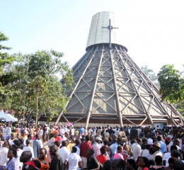

Welcome to Busia District
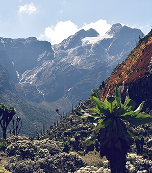
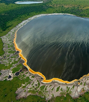
Welcome to Busia District Local Government Website. Busia District is among the best situated places in the world, with the most conducive weather, geographical features, blessed with natural resources like Copper, Cobalt, Lime stone, Lakes, Rivers, Mountains and so many others which you cannot find anywhere else.